Day 1
Alice Spring - Yulara, 461 km
 |
| All flat ! |

 |
| < Curtin Springs gas station >
After driving 381 km, we were only about 80 km to our destination, Ayers Rock Campground, the closest rest area to Uluru - Kata Tjuta National Park. It was time to refill our tank to full. The pump were all locked so I went into the shop to buy fuel. A lady came out to help us, however... "NO" fuel could be liquefied once it came out from a gun and pumped into our tank due to the heat (42°C at that time). So what was the best way to get our car run ? The only answer was: waited till it cooled down. How long it might take ? I asked. Probably not until 9 pm, the lady answered. But it was only 6:30pm... so we definitely couldn't make it to see sunset at Uluru. What a shame !
It was quity windy and cloudy, hopefully, it might not take too long to cool down. After 1.5 hrs, we decided to ask the lady to let us try again. Hooray !!! We finally got "liquid" fuel to drive down to Yulara.
Here's my advice: always tried to make your tank full when you drive in the middle of nowhere, because even you know where the next gas station is, you might not be able to get fuel. And don't risk if there's a great possibility that you might get stuck on the road.
|
Day 2
Uluru Sunrise - Kata Tjuta Sunset, 80 km
Here's the reason I don't like joining tours. Tours have limited time at a spot, no much flexibility to wait for the best moment. The observation platform was packed with early birds waiting for sunrise. That morning was a bit cloudy when sun just came above horizon. I and my friend were patiently seeking the best angle and waiting for the sunlight making Uluru gradually turn light grey into lively red. But most tourists weren't able to see it. However, I felt so comfortable that I could enjoy the whole view at the platform without anyone standing in my way !
Part 1 Uluru sunrise
 |
| < Early birds get worms 早起的鳥兒看日出 > |

 |
| < G'day, Kata Tjuta > |
 |
| Finally, it showed its true color ! |


Part 2 Uluru base walk, 10.6 km loop. 3.5 ~ 4 hrs.
 |
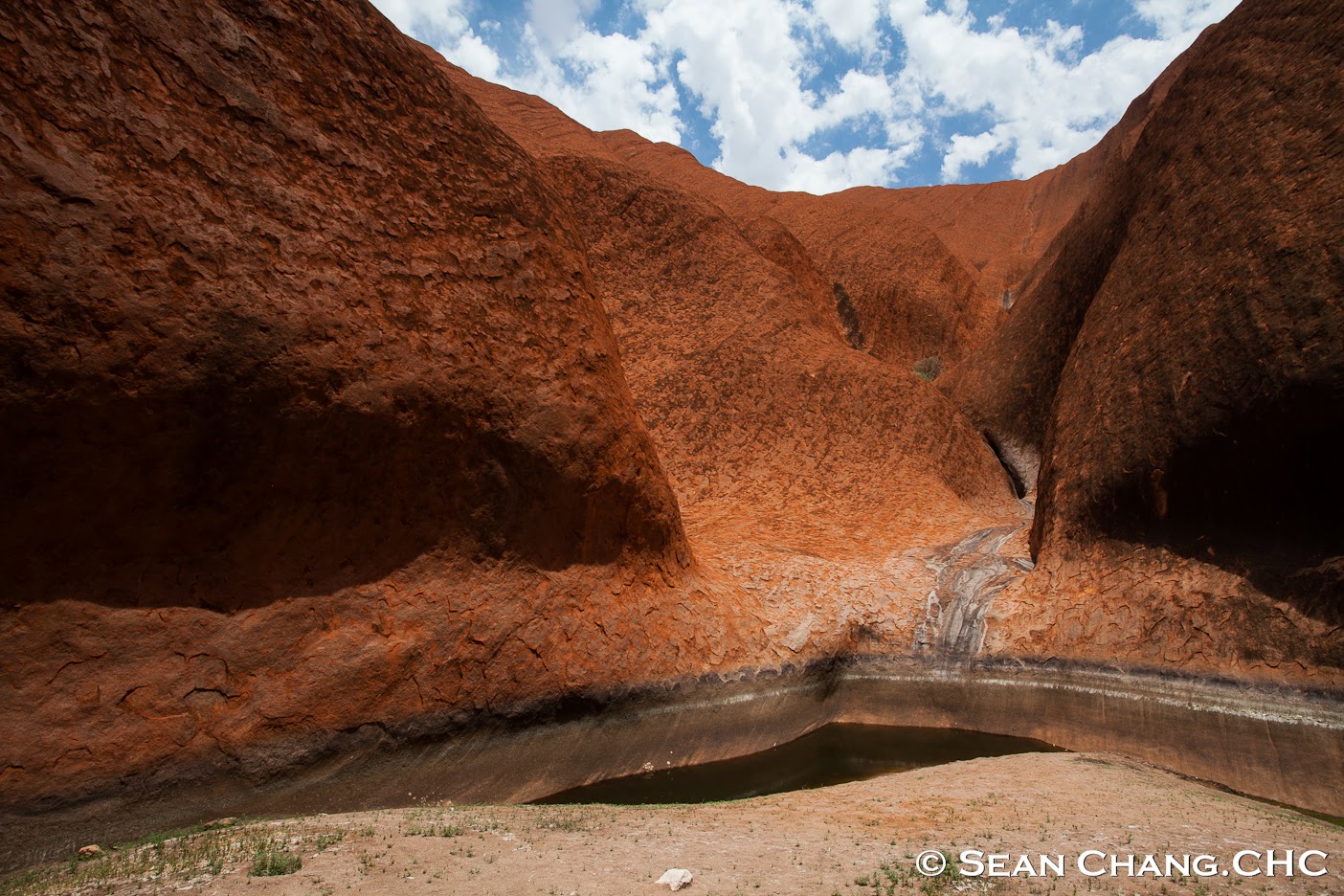
| < Kantju Gorge > |


< Mala Puta >


Part 3 Walpa Gorge Walk, 2.6 km return, 1 hr.
 |
| < Walpa Gorge > |
 |
| < Walpa Gorge > |
 |
< Walpa Gorge > 
Here's the result after lifting watermelons for 6 months, feeling liking lifting everything !
搬西瓜搬了六個月後的職業病,看到甚麼都想搬!
Part 4 The Valley of the Winds (風之谷),Karingana Lookout: Grade 4 - Difficult, 5.4 km return, 2.5 hrs.  next stop Karingana Lookout: Grade 4 - Difficult, 5.4 km return, 2.5 hrs.  WRONG WAY ! 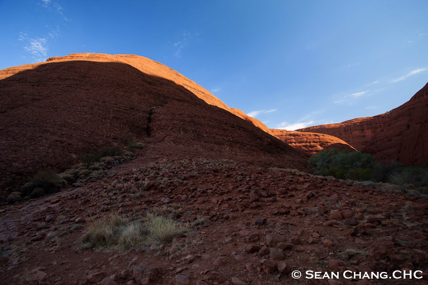       

< Kata Tjuta, (The Olgas) >
Kata means many, Tjuta means head in aboriginal language.
 
next stop...
The Red center PART 2 < Kings Canyon > !!!
|
Reference:
http://en.wikipedia.org/wiki/Uluru
http://www.parksaustralia.gov.au/uluru/plan/bush-walking.html
Uluru-Kata Tjuta National Park Maps
http://www.ayersrockresort.com.au/about-uluru-katatjuta/
沒有留言:
張貼留言